Tailored drone solutions for high-value farms: Reduce costs, boost yields, and ensure sustainability—proven for enterprise-scale efficiency.
We leverage our expertise and network to deliver tailored, end-to-end drone solutions, sourcing the ideal drones and components to ensure a seamless and efficient operation for your specific needs.
Unlock Precision Insights: Get Tailored Drone Solutions for Accurate Field Mapping.
Boost Crop Health: Discover Custom Drone Solutions for Smarter Monitoring and Scouting.

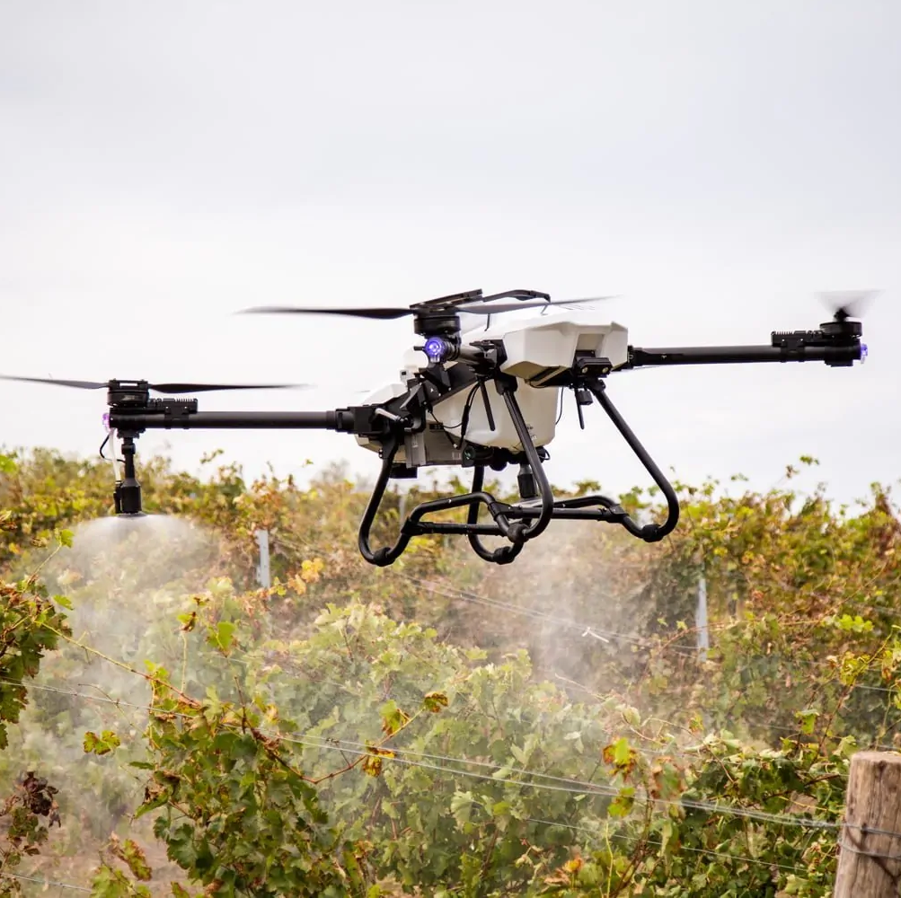
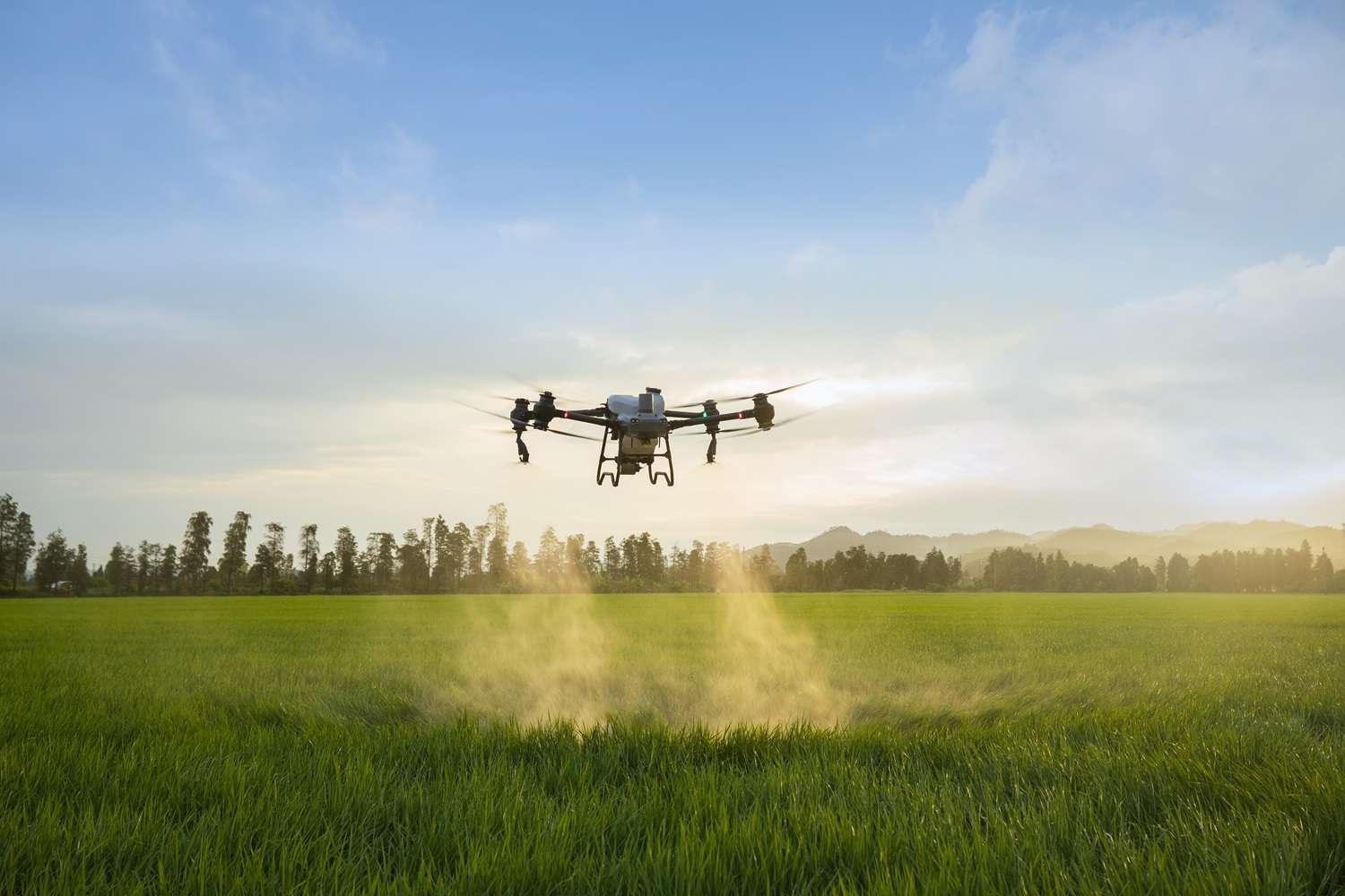
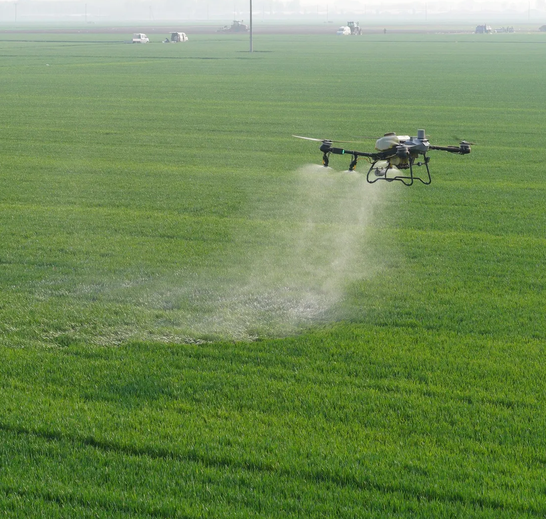
Optimize Every Drop: Explore end-to-end Drone Solutions for Precise Spraying.
Streamline Your Operations: Access Custom Drone Solutions for Efficient Livestock Management.

Drones with LiDAR or photogrammetry generate 3D terrain models to identify slopes and drainage patterns. This helps farmers design efficient irrigation systems, reducing water waste.
Multispectral drone imaging identifies soil types and nutrient levels across fields, enabling tailored fertilizer application. This reduces input costs and environmental impact.
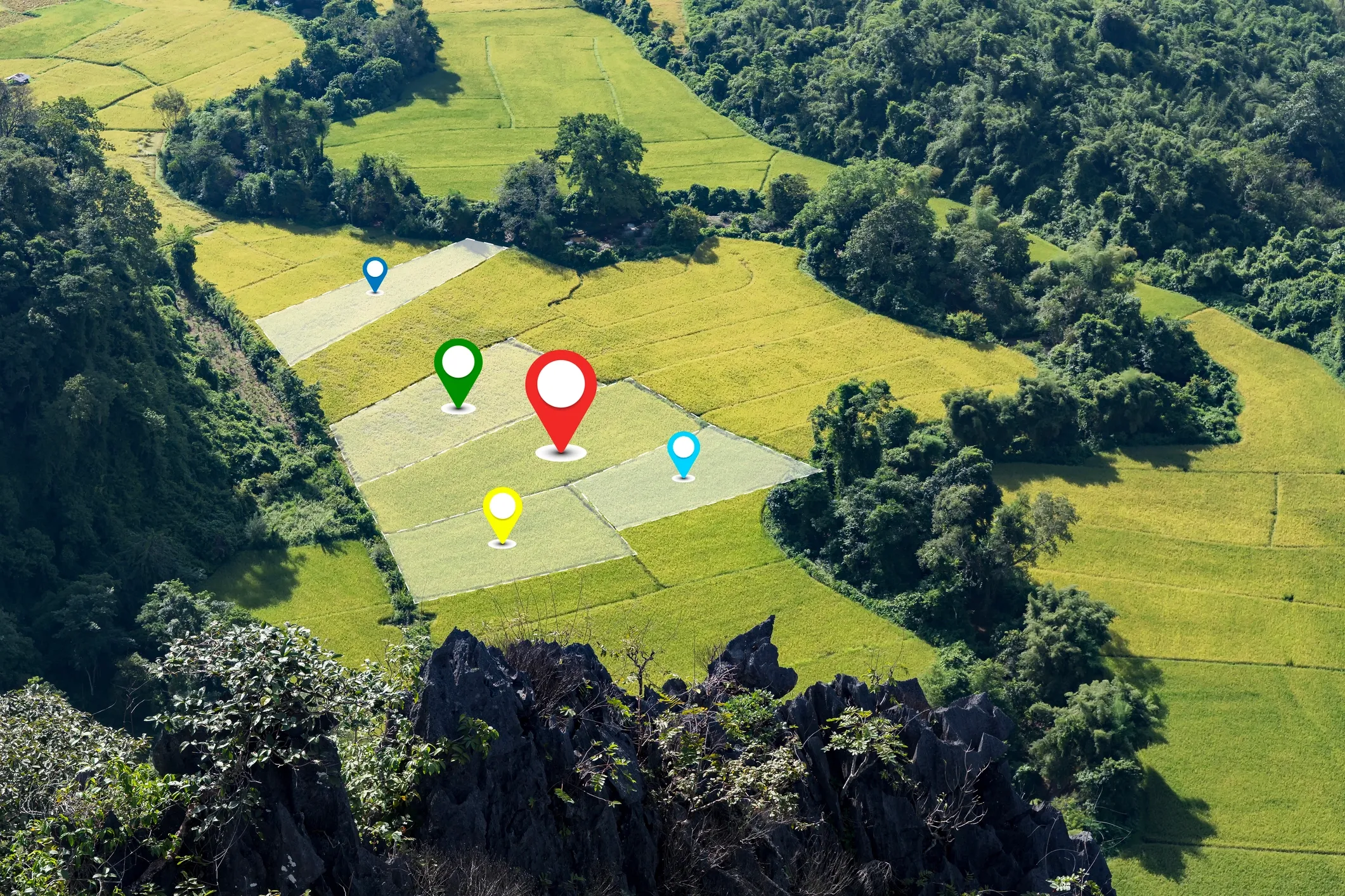
Drones quickly map field boundaries and calculate arable land area, streamlining compliance with agricultural subsidies or land-use regulations.
Drones capture high-resolution images to estimate crop density and land use, aiding in yield forecasting and insurance claims.
Drones equipped with multispectral cameras detect pest-induced stress before visible symptoms, allowing targeted interventions. For example, identifying aphid infestations in wheat fields saves crops through timely pesticide application.
Thermal imaging drones identify water-deficient areas by detecting temperature variations in crops, enabling precise irrigation adjustments.
Drones with hyperspectral sensors detect fungal infections like powdery mildew in real time, allowing farmers to apply fungicides only where needed.
Drones use AI-powered imaging to map weed outbreaks, enabling targeted herbicide application and reducing chemical use.
Drones with variable-rate sprayers apply herbicides only to weed-infested areas, reducing chemical use and preserving soil health.
Drones apply fertilizers to nutrient-deficient zones identified by prior mapping, optimizing crop growth and reducing runoff.
Drones spray pesticides in hilly or uneven terrains where ground equipment struggles, ensuring consistent crop protection.
Drones broadcast seeds for cover crops with precision, promoting soil health and reducing erosion in targeted areas.
Drones with HD cameras monitor livestock movement across vast pastures, identifying stray animals or herd health issues without labor-intensive checks.
Heavy-lift drones drop hay and salt blocks exactly where your herd needs them—fast, on-target, and at a fraction of the logistics cost.
Multispectral drones evaluate pasture biomass and quality, guiding rotational grazing to prevent overgrazing and improve feed efficiency.
Drones inspect water sources like ponds or troughs for availability and quality, ensuring livestock have consistent access without manual checks.
Drones scan fence lines for damage, reducing the need for time-consuming manual patrols and preventing livestock escapes.