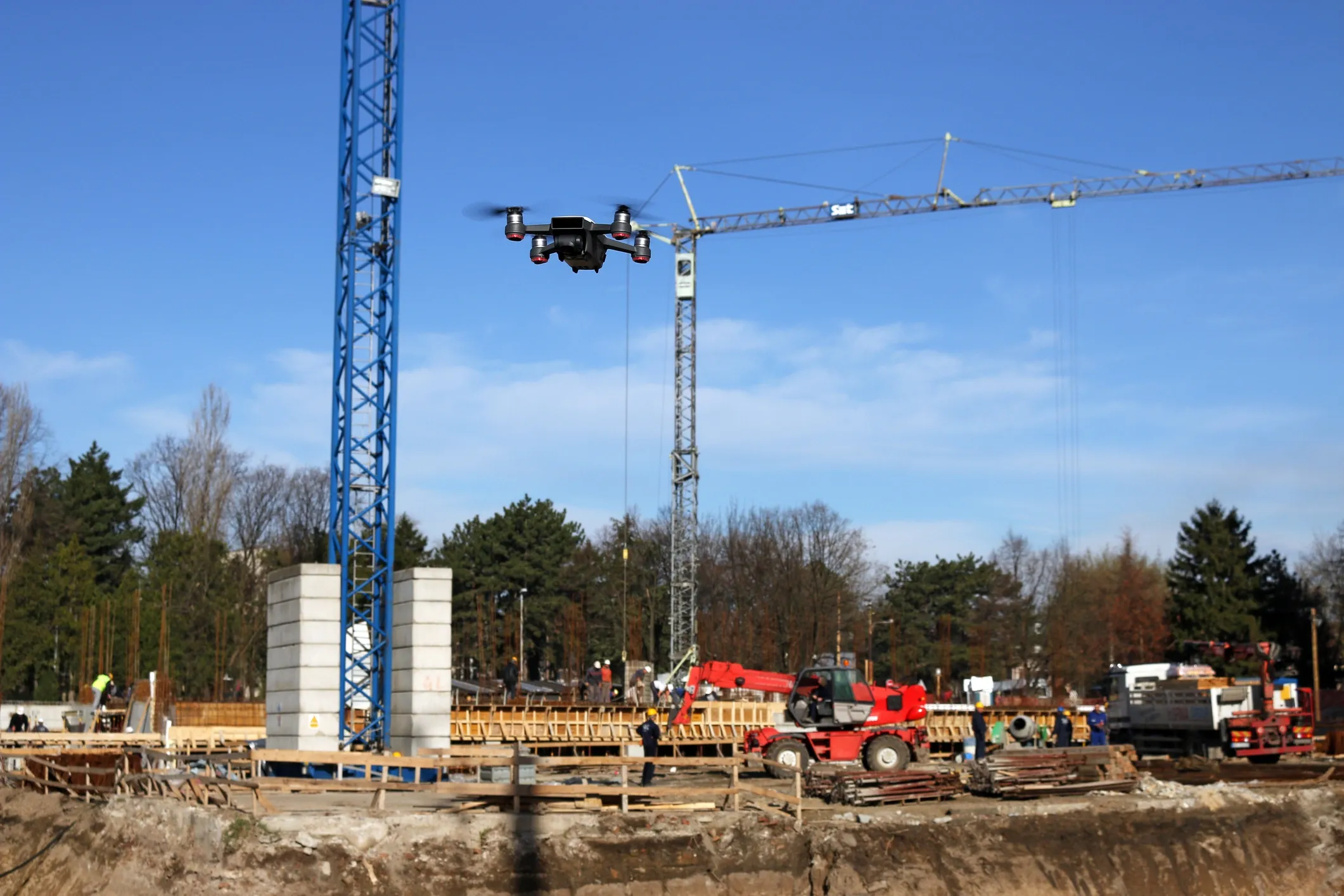
Elevate your projects with aerial data and intelligent insights for smarter, safer, and more efficient builds.
We leverage our expertise and network to deliver tailored, end-to-end drone solutions, sourcing the ideal drones and components to ensure a seamless and efficient operation for your specific needs.
Discover Precision: Get Customized Drone Solutions for Accurate Site Surveys.
Track Every Step: Request Tailored Drone Insights for Seamless Progress Updates.
Ensure Safety First and Secure Your Site: Access Expert Drone Solutions.
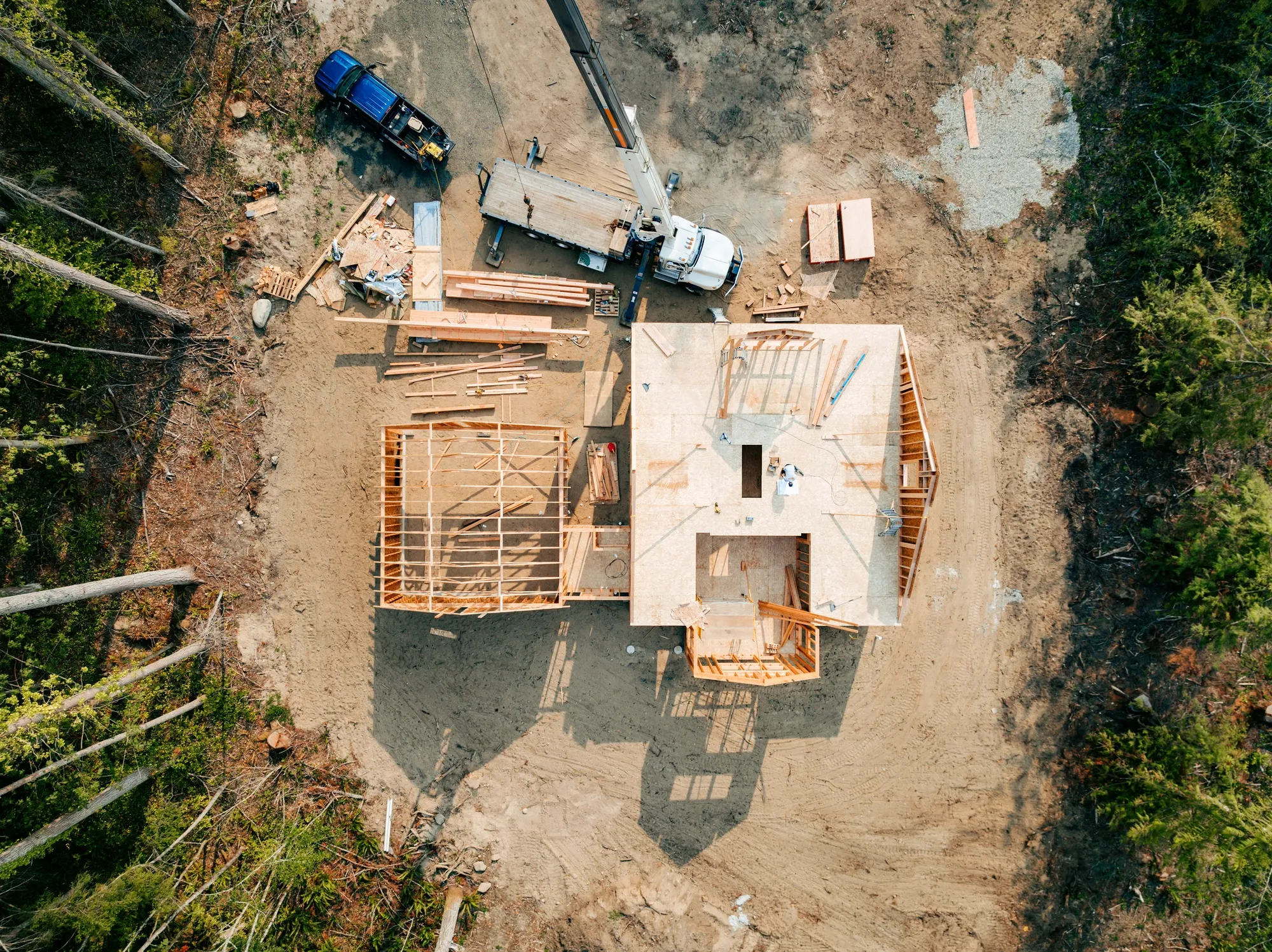
Drones capture elevation data across uneven terrain in hours, producing contour maps that guide foundation layouts and drainage designs, saving weeks compared to ground-based methods.
By flying predefined paths, drones compute cut-and-fill quantities with photogrammetry software, helping firms optimize material use and avoid over/under-estimation errors that lead to budget overruns.
High-resolution orthoimages from drones overlay property lines and underground utilities, ensuring compliant site prep and reducing disputes or rework costs.
Drones create 3D point clouds to identify natural obstacles like slopes or vegetation, allowing proactive planning that minimizes unexpected site modifications.
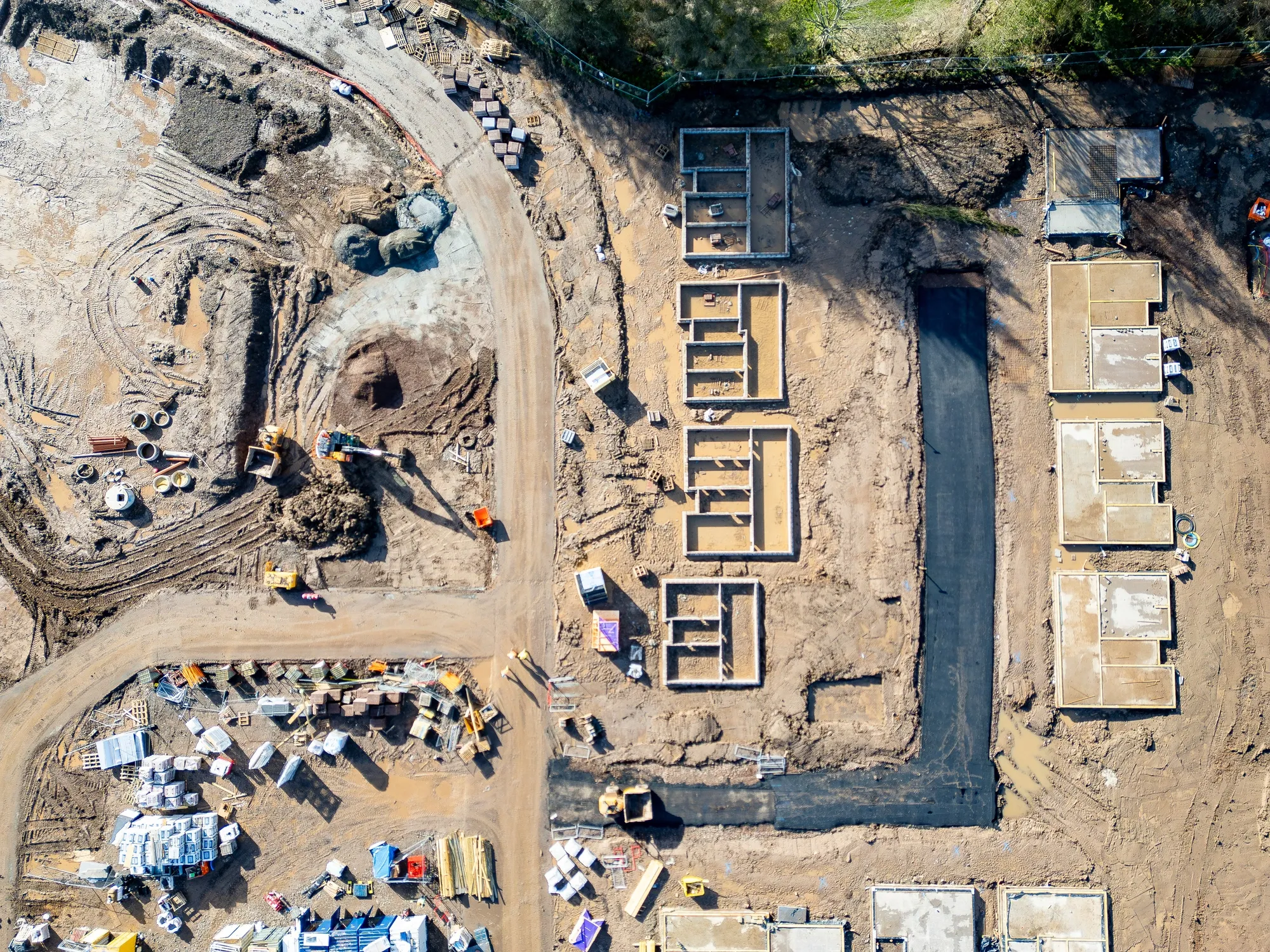
Drones overlay current site images on digital plans to quantify completion percentages, enabling quick adjustments to timelines and resource allocation without halting work.
Aerial scans monitor stockpile levels and machinery placement over time, producing reports that prevent shortages and optimize logistics for smaller teams.
Time-lapse drone footage documents phase completions, creating transparent reports that hold vendors accountable and reduce disputes in multi-party projects.
Drones detect bottlenecks like unfinished framing by comparing sequential flights, allowing firms to reallocate labor swiftly and maintain cash flow.
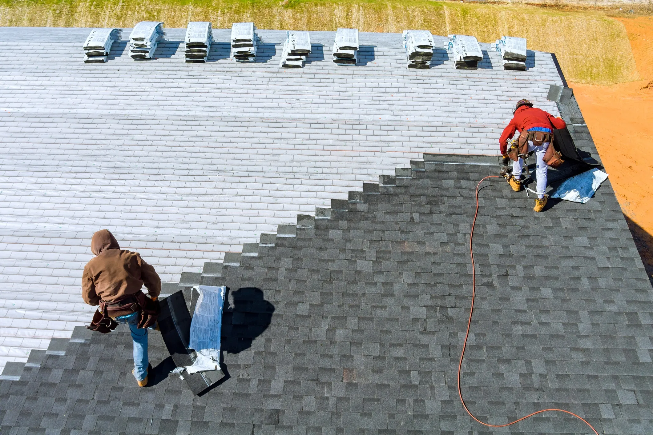
Drones inspect roofs or facades for cracks and instability without ladders, providing close-up footage that flags repairs early to prevent collapses.
Drones apply fertilizers to nutrient-deficient zones identified by prior mapping, optimizing crop growth and reducing runoff.
Aerial views evaluate scaffold integrity and edge protections from safe distances, generating reports that enforce fixes and reduce fall risks.
