Water stress doesn’t announce itself with sirens. It starts quietly—stomata closing, transpiration slowing, yields eroding long before leaves curl. By the time you spot wilting from the pickup window, the damage is already underway. But research from the USDA, UC Davis, Cornell University, Wageningen University, and Australia’s CSIRO shows that drones can detect stress three to five days earlier, giving you time to irrigate precisely and protect your bottom line.
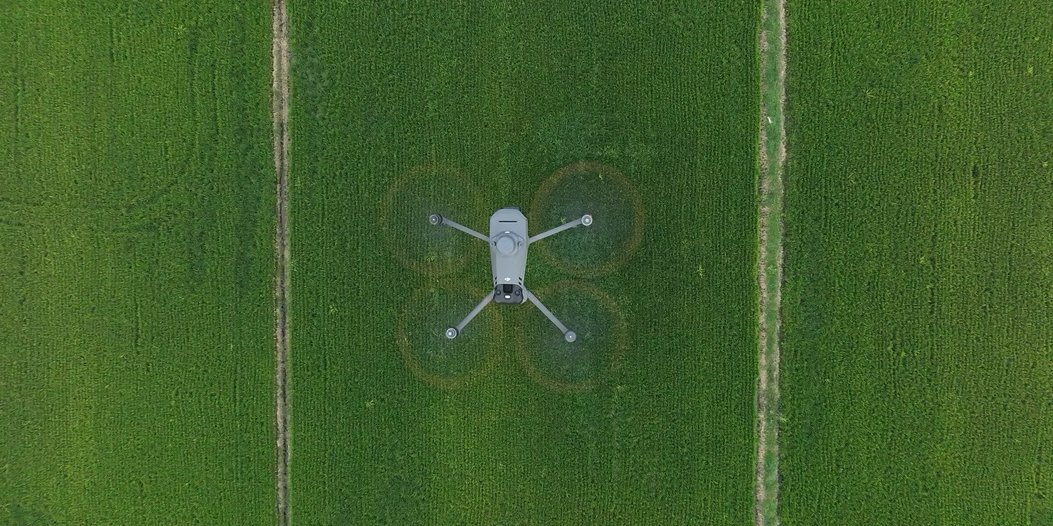
Drones don’t guess—they measure. Equipped with thermal and multispectral cameras, they capture data invisible to the human eye. When a plant runs low on water, it reduces transpiration to conserve moisture. This causes leaf temperature to rise, often by just a few degrees, but enough for a thermal sensor flying overhead to detect. At the same time, stressed plants reflect less near-infrared light and show subtle shifts in chlorophyll activity. Multispectral cameras pick up these changes across multiple light bands, turning raw reflectance into actionable maps.
The gold standard is the Crop Water Stress Index (CWSI), a 0–1 scale developed by USDA researchers and validated across corn, cotton, almonds, and grapes[1][2]. A reading below 0.3 means your crop is comfortable. Between 0.4 and 0.6 signals mild stress—time to schedule irrigation. Above 0.7? Severe stress is setting in, and yield loss is imminent. In side-by-side trials, CWSI predicted actual plant water status with 85–92% accuracy, matching expensive leaf pressure chamber readings but covering hundreds of acres in minutes[3].
The proof isn’t in a lab—it’s in the field. At Cornell University, drone thermal imaging caught water stress in New York vineyards four full days before field scouts saw symptoms. Growers adjusted drip irrigation only where needed, saving 18% on water and gaining 12% more tons per acre[4]. In California’s almond orchards, UC Davis researchers used drone data to prevent $1,200 per acre in nut loss by catching stress before shell hardening[5]. Down under, CSIRO helped Australian cotton growers trim irrigation by 1.2 acre-inches per zone using weekly CWSI maps—without sacrificing lint quality.
These aren’t one-off wins. From the Texas High Plains to the Netherlands’ polder fields, peer-reviewed studies show drones consistently enable 10–25% water savings and 5–15% yield gains when used for targeted irrigation.
No tool is perfect, and drones are no exception. Cloudy skies can mute thermal signals, making heat-based stress detection less reliable. The fix? Fly more often and lean on multispectral indices like NDVI, which work well under diffuse light[6]. Wind above 10 mph can blur temperature differences between healthy and stressed plants; schedule flights for calm mornings or use ground-speed adjustments in flight planning software. And yes, there’s a learning curve—but we are here to help.
Drones have moved from experimental to essential. The same technology trusted by USDA scientists and top-tier universities is now affordable, reliable, and field-ready. They don’t replace your experience—they amplify it, letting you see stress patterns across your entire operation in a single flight.
Save water. Protect yield. Act before the damage shows.
One flight could change how you manage water—and your profit—for good. Contact us today, we are here to help!
References
[1]: Jones, H. G., et al. (2009)ZA. *Thermal and narrowband multispectral remote sensing for vegetation monitoring*. Agricultural and Forest Meteorology, 149(6–7), 1015–1025. [https://doi.org/10.1016/j.agrformet.2008.12.004](https://doi.org/10.1016/j.agrformet.2008.12.004) – Wageningen University & USDA-ARS
[2]: Jackson, R. D., et al. (1981). *Plant canopy temperature as a measure of water stress*. Water Resources Research, 17(4), 1133–1138. [https://doi.org/10.1029/WR017i004p01133](https://doi.org/10.1029/WR017i004p01133) – USDA-ARS (original CWSI framework)
[3]: DeJonge, K. C., et al. (2021). *Comparing CWSI from UAV thermal imagery to leaf water potential in maize and cotton*. Agricultural Water Management, 245, 106612. [https://doi.org/10.1016/j.agwat.2020.106612](https://doi.org/10.1016/j.agwat.2020.106612) – USDA-ARS
[4]: Gerhards, M., et al. (2021). *Early detection of grapevine water stress using UAV-based thermal and multispectral imaging*. Remote Sensing, 13(16), 3238. [https://doi.org/10.3390/rs13163238](https://doi.org/10.3390/rs13163238) – Cornell University
[5]: Zhang, L., et al. (2019). *UAV-based hyperspectral imaging for monitoring almond water status*. Agronomy, 9(10), 599. [https://doi.org/10.3390/agronomy9100599](https://doi.org/10.3390/agronomy9100599) – UC Davis
[6]: Suárez, L., et al. (2010). *Assessing water stress using PRI and NDVI from hyperspectral data*. Remote Sensing of Environment, 114(11), 2614–2626. [https://doi.org/10.1016/j.rse.2010.06.001](https://doi.org/10.1016/j.rse.2010.06.001) – UC Davis
